Wadden Sea World Heritage logo

User account menu

  • Log in
  • English
  • Danish
  • Deutsch
  • Dutch

Main navigation

  • Our World Heritage
    • UNESCO Status
    • Formation
    • Geology
    • Ecology
    • Biodiversity
    • Kids explain
  • Our work
    • Protection and management
    • Monitoring (TMAP)
    • Initiatives
  • Our organisation
    • Trilateral Wadden Sea Cooperation
    • Common Wadden Sea Secretariat
    • Partnership
    • International cooperation
    • Symposia and conferences
  • Your visit
    • Denmark
    • Schleswig-Holstein
    • Lower Saxony and Hamburg/Neuwerk
    • Netherlands
    • Visitor centres
    • Hiking routes
    • Behave
  • News & resources
    • News
    • Resources
    • Wadden Sea Newsletter
    • Brand Toolbox
  • Events
Flock of hundreds of birds against a blue sky with some trees and grasses beneath them
07.05.2026

New publication supports waterbird monitoring along the East Atlantic Flyway

A new publication developed under the Climate Resilient East Atlantic Flyway (CREAF) project provides practical guidance for monitoring waterbird populations at critical wetland sites across the East Atlantic Flyway, with a particular focus on Western Africa.

Read more

Flock of hundreds of birds against a blue sky with some trees and grasses beneath them

Abundance monitoring of waterbirds at critical sites in the East Atlantic Flyway with a focus on Western Africa

Download
Three red knots in a row on exposed mudflat with their beaks in the in shallow waters.
31.03.2026

Political Partner Meeting highlights the role of policy engagement across the East Atlantic Flyway

Held online on 3 March 2026, the meeting provided an opportunity to present the overall aims and approach of the project.

Read more

Sturgoen held in a hand with an external tag attached to its body.
12.05.2026

Webinar: Swimway - Fish Without Borders

Online

Read more

A group of people standing in front of large ship's propeller and a red-brick building.
26.03.2026

Steering Group reviewed progress in FLY2 Coastal Wetlands Project

The Steering Group of the project “Integrated Environmental Monitoring Framework for Coastal Wetlands Along the East Atlantic Flyway” (FLY2 Coastal Wetlands Project) met this week at the Maritime Museum in Hamburg’s historic Speicherstadt to review the progress on the project's framework development.

Read more

Three people in front of seated group, two holding up a flipchart paper, the third explaining the contents.
23.03.2026

DARKER SKY Project Enters its Final Phase

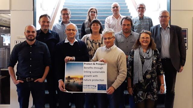
In the beginning of March, the Hamburg team around Bezirksamt Altona and Hamburg University of Applied Sciences welcomed partners of the Interreg North Sea Project DARKER SKY.

Read more

""
27.08.2026

Wadden Sea Day 2026

Wilhelmshaven (D)

Read more

Three dunlins wading in shallow water.

2026 Report on the State of Conservation of the World Heritage property “The Wadden Sea (N1314)”

Download
Wide view of the coastal landscape of the Banc d‘Arguin, with a shallow lagoon bordered by sandy shores.

Methodological guideline for climate impact modelling of tidal wetlands along the East Atlantic Flyway

View publication (external link)
Wide view of the coastal landscape of the Banc d‘Arguin, with a shallow lagoon bordered by sandy shores.
04.02.2026

Climate impact models can help strengthen resilience of coastal wetlands along the East Atlantic Flyway

The newly published methodological guidelines are the first step in ensuring adequate data availability for modelling climate impacts at the site level.

Read more

Pagination

  • Next page ››
Subscribe to International cooperation
  • Instagram
  • Facebook
  • YouTube
  • LinkedIn

Accessibility statement

Site map

Contact

Login

Footer

  • Quality Status Report
  • International Wadden Sea School
  • Wadden Sea Flyway Initiative
  • Swimway Initiative
  • Exchange Platform
  • Instagram
  • Facebook
  • YouTube
  • LinkedIn

© Common Wadden Sea Secretariat.
Website terms and conditions